The delta in numbers
| Figure | |
|---|---|
| Area | Over 40,500 km² |
| Population | About 19 million, 2022 |
| Density | Around 440 per km² |
| Rice, 2011 | 23,186,000 t, 54.8 per cent of national output |
| Mean elevation | 0.82 m above sea level |
| Main city | Can Tho |
Disclosure: VietSIM sells prepaid eSIMs for Vietnam. We sell no delta tours and take no commission from any boat.
Water instead of roads
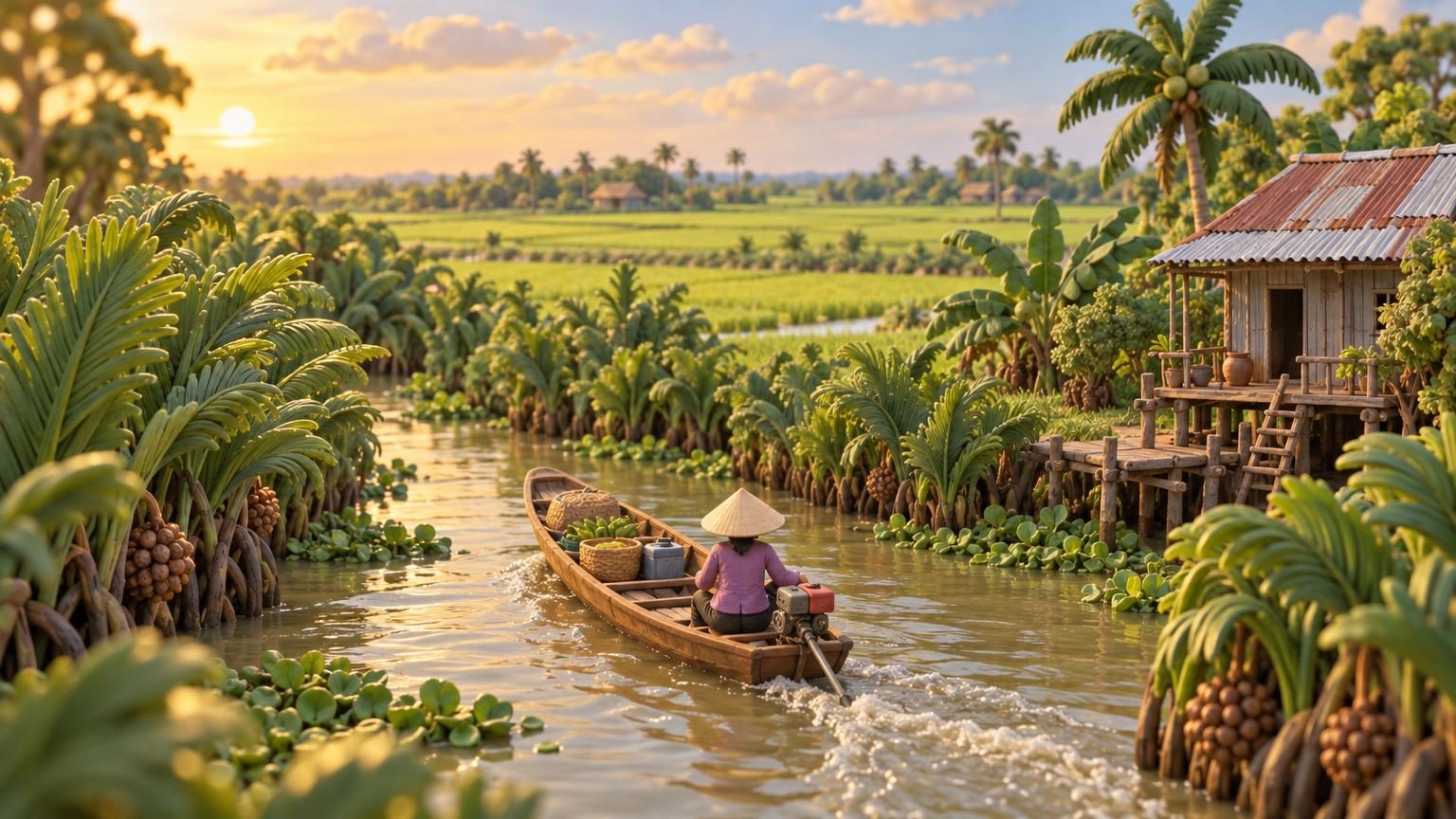
The Mekong arrives in Vietnam and breaks into a fan of rivers and canals that carries 19 million people, their houses, their markets and more than half the country’s rice. Over 40,500 km² of it, and the average elevation is 0.82 metres.
That last figure explains the architecture. Stilts, boats tied to porches, shops with steps down to the water and a back door that opens onto a canal. Roads came later and are still not the main network.
The floating markets
Cai Rang outside Can Tho is the one most people see, and it is a real wholesale market rather than a display: boats meet before dawn, hang a sample of what they are selling from a pole, and trade with each other until the morning ends.
Arrive at sunrise or do not bother. By nine the boats are dispersing and what is left is the version of the market that exists for people who arrived at nine.
Getting there and around
Ho Chi Minh City is the gateway, and buses to Can Tho, Ben Tre and Vinh Long run all day on the platforms. The arrival into the city itself is in Tan Son Nhat to District 1, and the coach options are in sleeper buses in Vietnam.
For anyone heading to Cambodia, Vinh Xuong in An Giang and Ha Tien in Kien Giang are both on the government’s list of international gates that accept an e-visa, covered in the Vietnam e-visa.
When to go
The south is dry from December to April and wet from May to November, so the delta is at its most comfortable in the first window and at its fullest in the second. Water levels, not temperature, are the thing that changes what you see. The year is in when to go to Vietnam.
Coverage along the main channels is decent and thins in the smaller canals, which matters if you are arranging a boat by phone. Sizing is in how much mobile data for Vietnam and the plans are in the Vietnam eSIM store.