The facts
| Figure | |
|---|---|
| Geopark | Dong Van Karst Plateau, UNESCO Global Geopark since 3 October 2010 |
| Geopark area | 2,356.8 km², average 1,400 to 1,600 m above sea level |
| Districts | Meo Vac, Dong Van, Yen Minh, Quan Ba |
| Ma Pi Leng pass | About 1,500 m, in Meo Vac district |
| Border | 270 km with Yunnan, China |
| Province | Incorporated into Tuyen Quang province on 12 June 2025 |
| Rainfall | 2,430.1 mm a year, mean temperature 22.78 °C |
Disclosure: VietSIM sells prepaid eSIMs for Vietnam. We sell no tours, rent no motorbikes and have no relationship with any operator running the loop.
What you are actually riding through
The loop crosses the Dong Van Karst Plateau Geopark, which has been in the UNESCO Global Geoparks Network since 3 October 2010 and covers 2,356.8 square kilometres across Meo Vac, Dong Van, Yen Minh and Quan Ba districts. The average elevation is 1,400 to 1,600 metres.
That elevation is the part people underestimate. This is limestone at the height of a small alpine range, not tropical lowland with a view. The province averages 22.78 degrees Celsius over the year, and mornings on the plateau are considerably colder than that average suggests.
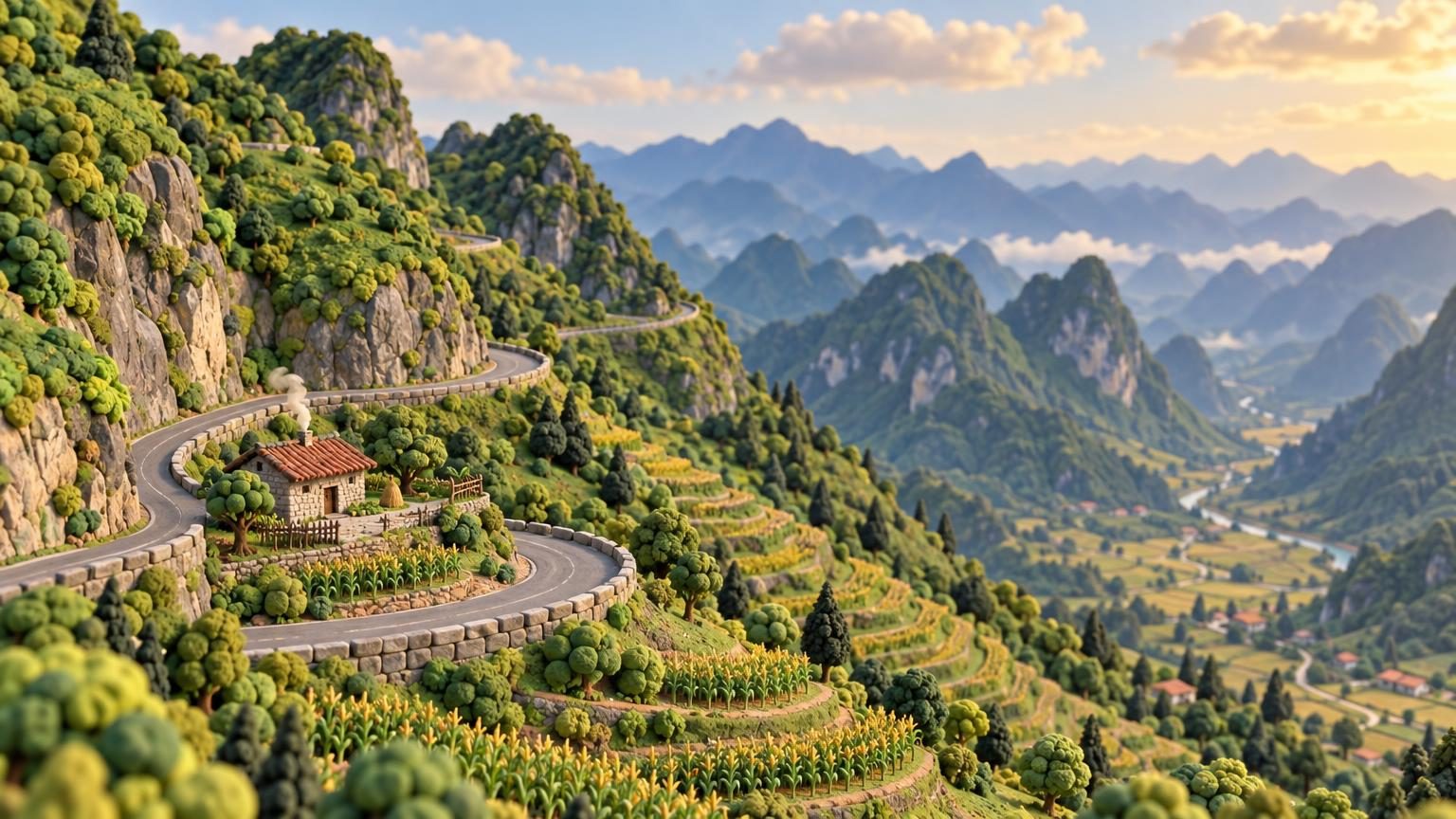
Ma Pi Leng, at about 1,500 metres in Meo Vac district, is the section the photographs come from. It marks the boundary of the Nho Que river basin along the Chinese border, 270 kilometres of which runs through the province.

The licence question
Australia’s travel advice for Vietnam states plainly that a Vietnamese licence is required to ride a motorbike from 50cc upward. Renting one is easy, which is why a lot of people assume the rest follows. It does not: riding unlicensed typically voids travel insurance as well, so a fall becomes a bill.
The alternative most visitors take is riding pillion with a local driver, which removes both the licence problem and the harder question of whether you can handle a loaded bike on wet mountain hairpins. What that costs is not something this page can quote honestly, since it changes constantly and we sell nothing here.
The wider road safety picture, including what the advisories actually say about motorbike deaths, is in is Vietnam safe.
The name changed
On 12 June 2025 Ha Giang was incorporated into Tuyen Quang province. The region and the route are still called Ha Giang, and will be for years, but administrative pages, newer maps and some booking systems now say Tuyen Quang. If two sources disagree about which province you are in, this is why.
Timing and getting there
The province takes 2,430.1 mm of rain a year, and the northern dry season runs roughly October to April. Wet limestone hairpins are a different road from dry ones, which is the single biggest argument for going in the drier half. The month by month picture is in when to go to Vietnam.
Most people arrive by night bus from Hanoi, covered in sleeper buses in Vietnam, and many pair it with Sapa on the same trip north. Coverage on the plateau is patchier than in the cities, so download your maps before you start: sizing is in how much mobile data for Vietnam and the plans are in the Vietnam eSIM store.