The facts
| Figure | |
|---|---|
| Length | About 21 km |
| Summit | 496 m |
| Peak alongside | Ai Van Son, 1,172 m |
| Road | National Route 1, between Hue and Da Nang |
| Tunnel | Hai Van Tunnel, 6,280 m, opened 5 June 2005, second tube 2021 |
| Tunnel rule | Motorcycles, bicycles and pedestrians not allowed, shuttle since November 2006 |
| Historic border | Dai Viet and Champa, 1306 to 1471 |
Disclosure: VietSIM sells prepaid eSIMs for Vietnam. We sell no tours, rent no motorbikes and have no relationship with any operator on this road.
A weather line you can stand on
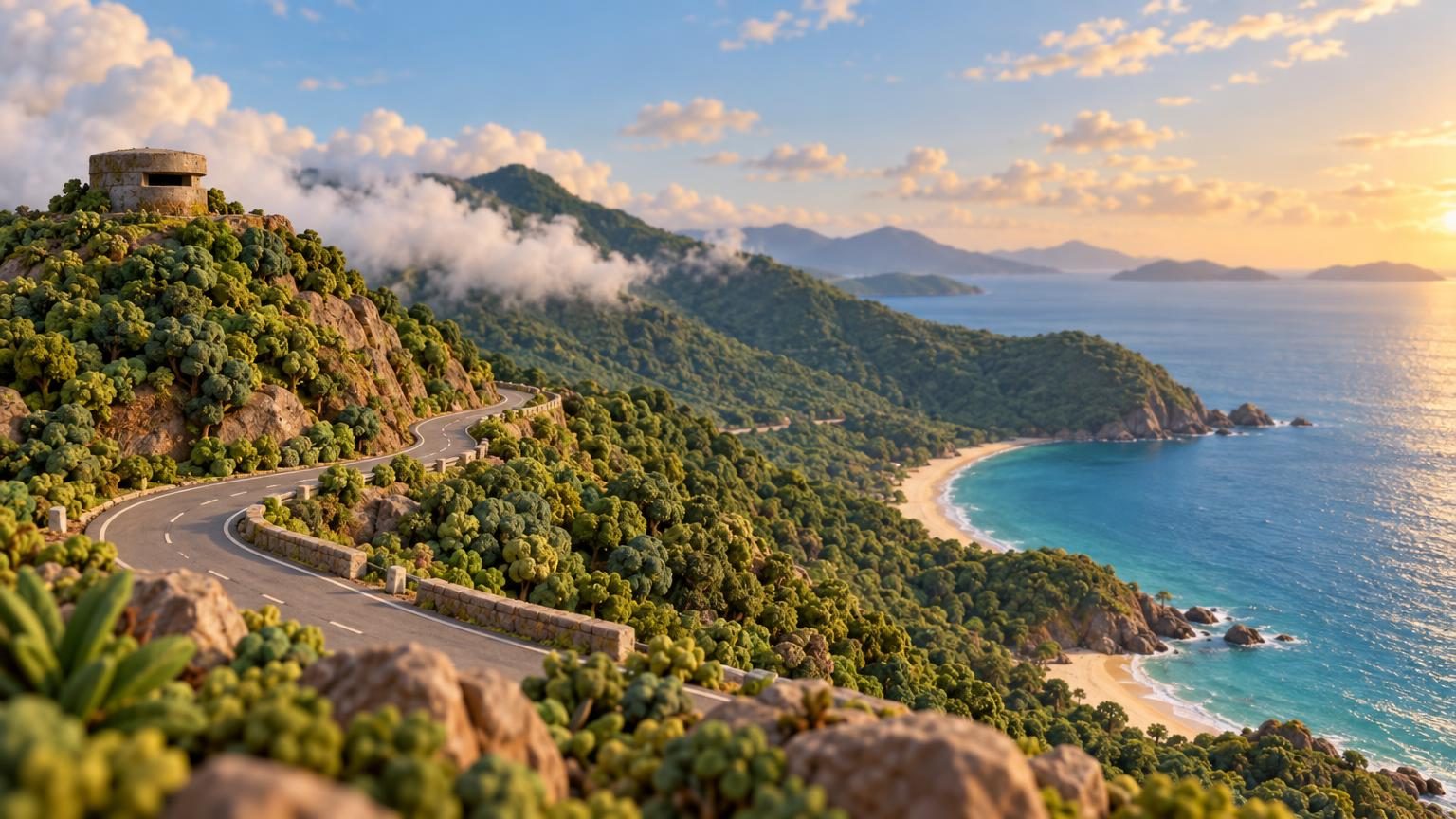
The pass forms the boundary between the climates of northern and southern Vietnam. It shelters Da Nang from northwesterly winds, and in winter the north side can be wet and cold while the south side is warm and dry at the same hour of the same day.
That is not a figure of speech. Riding south in January you can leave Hue in drizzle and grey, climb for half an hour and come out of the cloud into sun over the bay. Riding north, you watch it happen in reverse, which is the better direction for understanding what the ridge is doing.
The summit is 496 metres, and the road covers about 21 kilometres getting there and down. Ai Van Son, the peak beside it, reaches 1,172 metres, and that is the shape your eye reads, which is why the pass feels higher than its own number.
What the tunnel changed
The 6,280 metre Hai Van Tunnel opened on 5 June 2005, with a second tube completed in 2021, and it took National Route 1’s through traffic under the ridge. Lorries and coaches that used to grind over the top now go straight through.
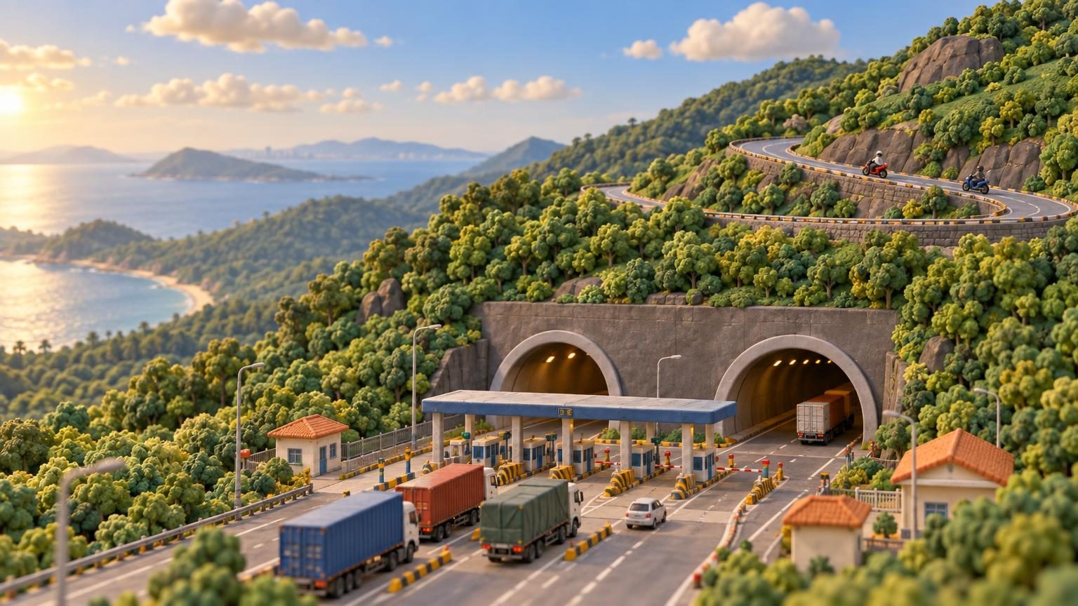
So the pass road is quiet in a way it was not before, and the people on it largely chose to be. That is the whole reason it reads as a scenic route today rather than as a bottleneck.
One rule decides a lot of trips: motorcycles, bicycles and pedestrians are not allowed in the tunnel. A shuttle service for bikes started in November 2006. If you are riding, the pass is not the scenic option, it is the only option.
A border before it was a view
From 1306 until Vietnamese forces took the region in 1471, this ridge divided the kingdoms of Dai Viet and Champa. A natural weather boundary that is also a defensible crossing tends to collect fortifications, and the structures on the top are the residue of that.
Seven centuries on one ridge
1306
The ridge becomes a frontier
It divided the kingdoms of Dai Viet and Champa.
1471
Vietnamese forces take the region
A border for 165 years ends here.
5 June 2005
The Hai Van Tunnel opens
6,280 metres, and National Route 1 traffic leaves the top.
November 2006
A shuttle for bikes begins
Motorcycles, bicycles and pedestrians are not allowed in the tunnel.
2021
A second tube is completed
Doing it
On two wheels you go over, by the rule above. In a car or a coach you can ask for the pass rather than the tunnel, and the train takes the coastal line around the headland instead, which is a different view and covered in the Reunification Express.
Either end is a reason to stop: Hue on the north side with the citadel and the tombs, the beaches on the south. Which half of the year suits is in when to go to Vietnam, the licence rule for riding yourself is in is Vietnam safe, and for the maps and weather you will actually check up there, sizing is in how much mobile data for Vietnam with the plans in the Vietnam eSIM store.